Arable farmer describes land management app as a “game changer”
8th November 2022
Edward Earnshaw, who farms two units in Gloucestershire and Leicestershire, and advises other farms on RPA grants, says Land App is easy for any farmer to use and has brought a range of benefits, not only to his own farm, but also those of his clients.
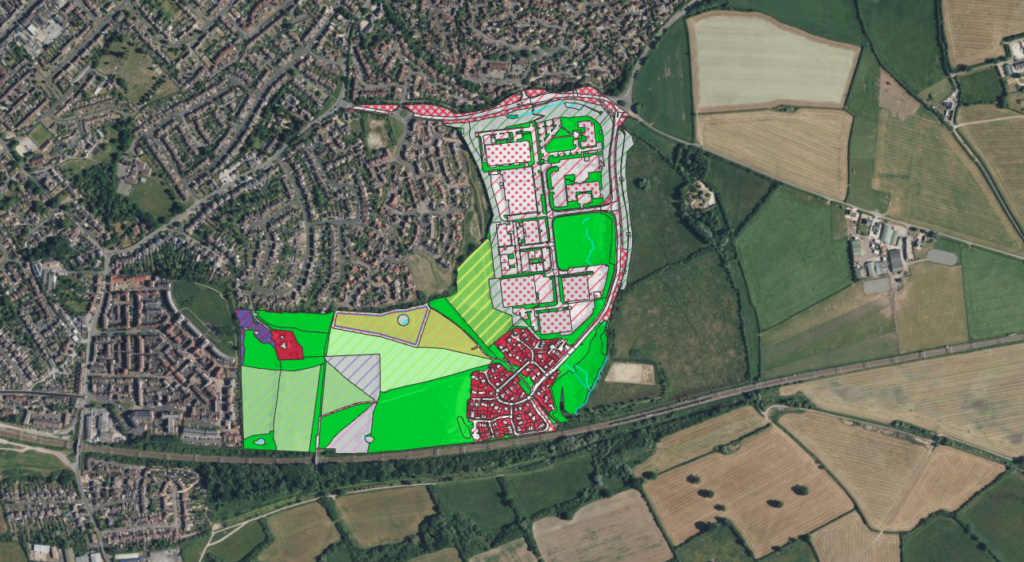
Map contains UKHabitat Classification, © UKHAB LTD, under license. No onward license implied or provided. All rights reserved https://ukhab.org/. Bing Imagery, 2022 © Microsoft product screen shot reprinted with permission from Microsoft Corporation.
Three years ago, when Edward went into business advising farmers on RPA grants, he began looking for a mapping programme but found much of the software was still CD-ROM based and had to be installed on a desktop PC – until he discovered the new, cloud-based Land App.
His farming business, Slaughter Farm, is split across two locations but run as one enterprise comprising of 700 acres and growing wheat, barley and spring oats with occasional spring barley. As the farm now uses contractors for field operations, Land App has proved a useful tool for communicating their approach to contractors.
Rather than drawing maps on scraps of paper, they can go into the app and highlight what needs doing before sending a very quick, simple and visually accurate map to the contractor. It’s easy to record what has been done and what needs doing so they can look at more strategic changes, Edward explains.
Land App comes into its own when the farm is looking to change farm strategy such as introducing a different cropping plan. The software allows them to look at profitability and payment rates for different scenarios, for example seeing whether it would be more profitable to grow a different break crop or a stewardship crop.
“We can import yield maps into Land App and overlay them when looking at new stewardship plans or cropping rotations. Using different mapping layers we can see the data side by side and compare the data sets, thereby recalculating farm profitability,” he explains.
One thing that has been particularly beneficial for Edward’s own farm, is being able to work out different cropping rotations visually and explore how this might work out over 3-4 years. Rather than creating cropping plans on scraps of paper and repeating the process for each year, Land App allows him to use a different map layer for each year – and at the click of a button illustrate it very easily to his father, whom he farms with, or contractors, for instance.

Communicating with a team is made easy, he says, whether it’s an in-house operation, from the farm manager to the tractor driver and the agronomist, everyone has a record and an easy way to communicate changes.
Using it to advise his clients on RPA grants has been a “game changer”, he adds. The team can go onto a new farm and draw up a plan very easily, sometimes there and then on a laptop in the kitchen, to give them an idea of potential payments from a new scheme using the report analysis in Land App.
They can show the farmer detailed knowledge of their holding, e.g. where the SSSIs, historic features and footpaths are located, all of which helps when designing a new cropping plan or stewardship application. Edward can also provide clients with a laminated ‘tractor-friendly’ visual aid with the map of the farm on one side and a short summary of what they need to do on the other.
Ease of use is another advantage. Having explored other mapping software, Edward says lots of training is often required but Land App is very intuitive and he believes any farmer can learn to use it quickly and easily. A new team member who joined his last year was able to start producing maps for clients in just half an hour.
Land App also links to Defra’s mapping database for RPS so you can import a map with just the SBI number, without needing permissions or waiting for the paper map. “That’s what we use to make sure the areas of the field are exactly what the RPA say they are. It is the same data set. That consistency has a great value too. I don’t think you can do that feature with other mapping software that I’ve come across,” he adds.
The software also works just as well on any size farm, with Edward’s company working with farms from 100 to several thousand acres – and there is opportunity for neighbouring farms to collaborate. Edward is planning to use it for a landscape recovery pilot in northwest Oxfordshire, covering 3,500ha of direct project area, over an area of 20,000ha.
He also has a facilitation fund of 30 farmers in north Wiltshire over 3,000ha. Being able to map this whole area in one piece of software allows different opportunities and scenarios to be explored, highlighting the collective benefits that different collaborations might provide.
It also allows them to communicate with new buyers, or research, testing and trials of new parts of ELMS or private financing. It works for buyers and sellers, as well as farms, he says, and allows this to be illustrated and communicated to potential investors for private finance and environmental projects.
Land App is free for farmers; visit www.thelandapp.com